
Technical plans
Execution plans and study files
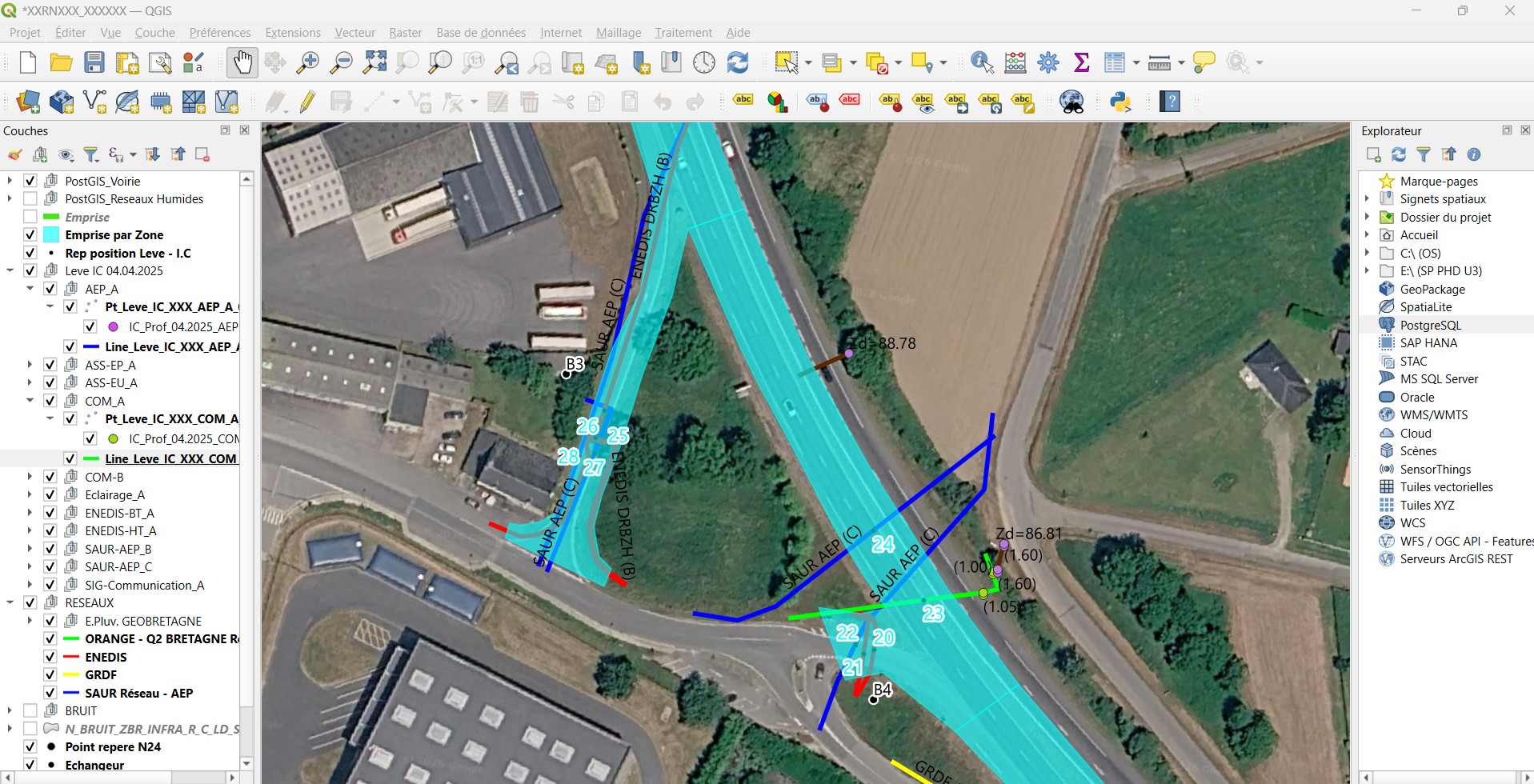
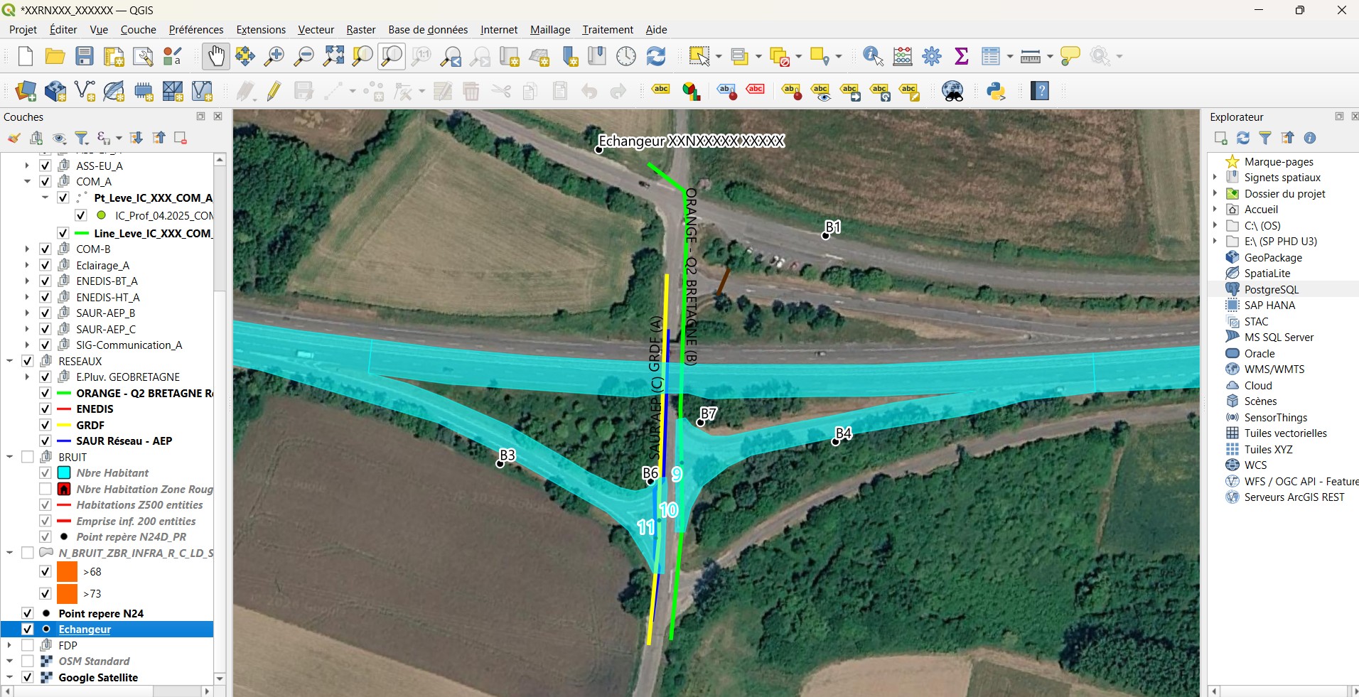
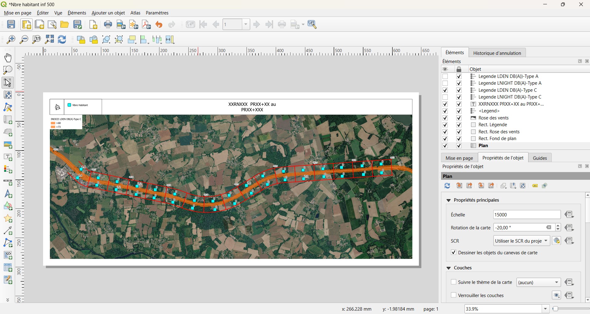
Technical documents produced in DWG and QGIS, structured so that building and planning professionals can use them directly.
The context
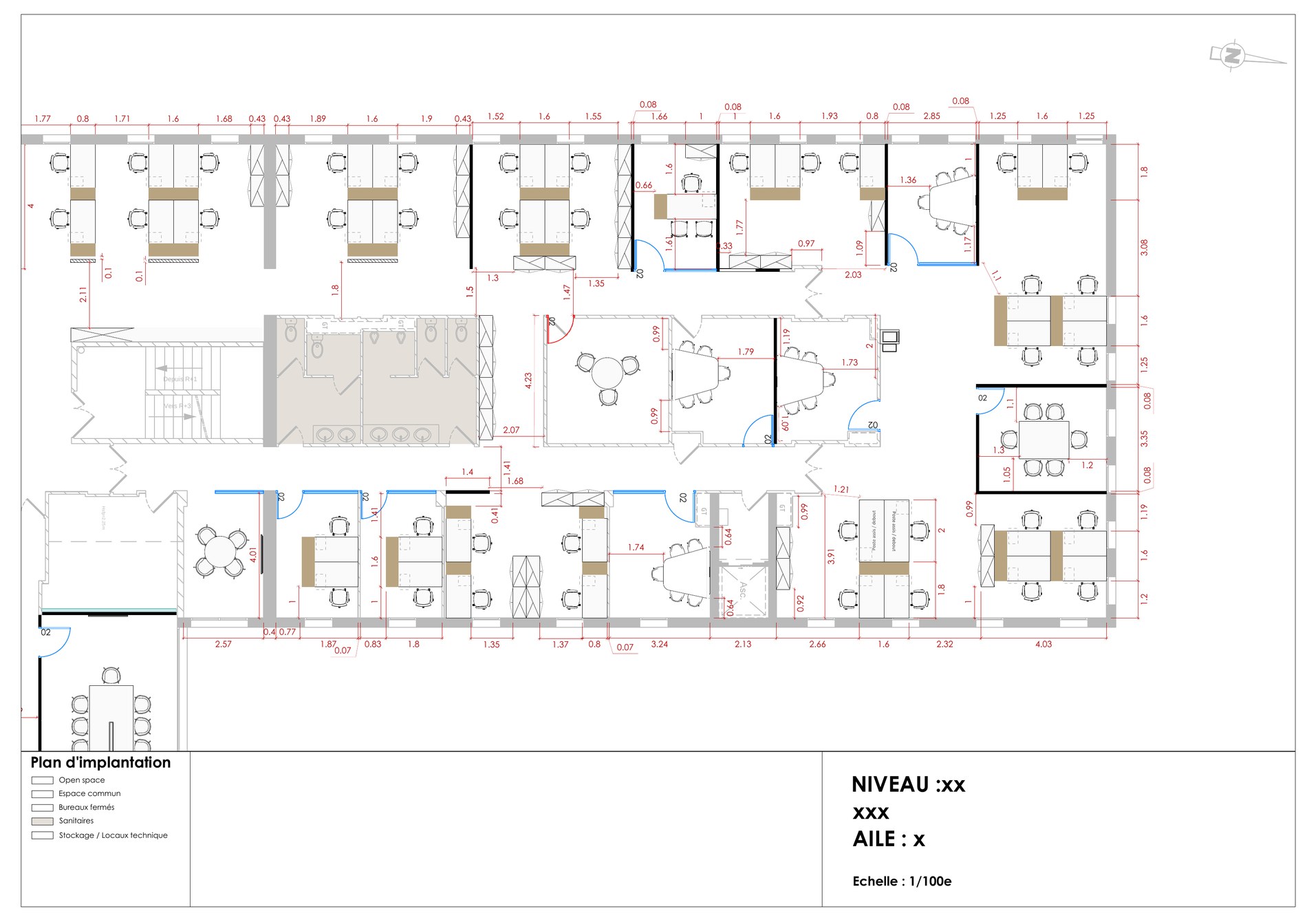
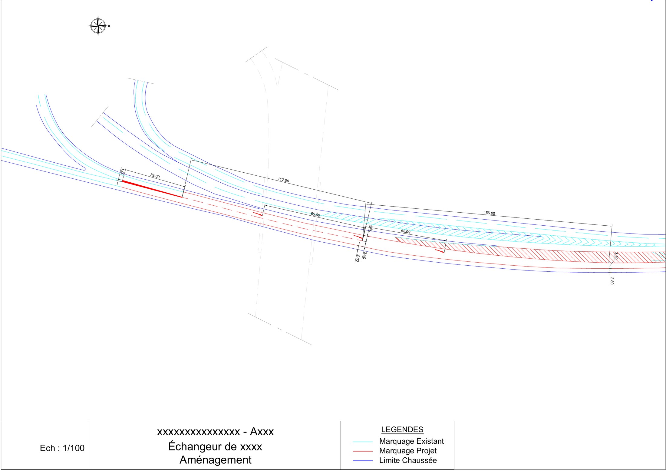
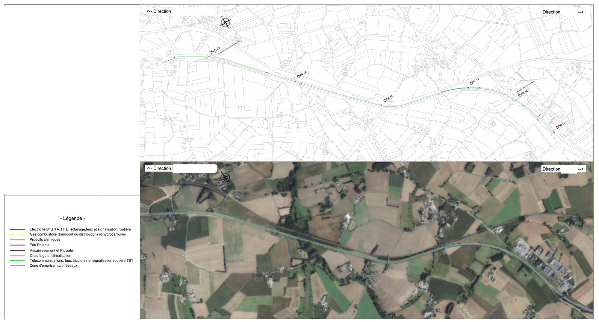
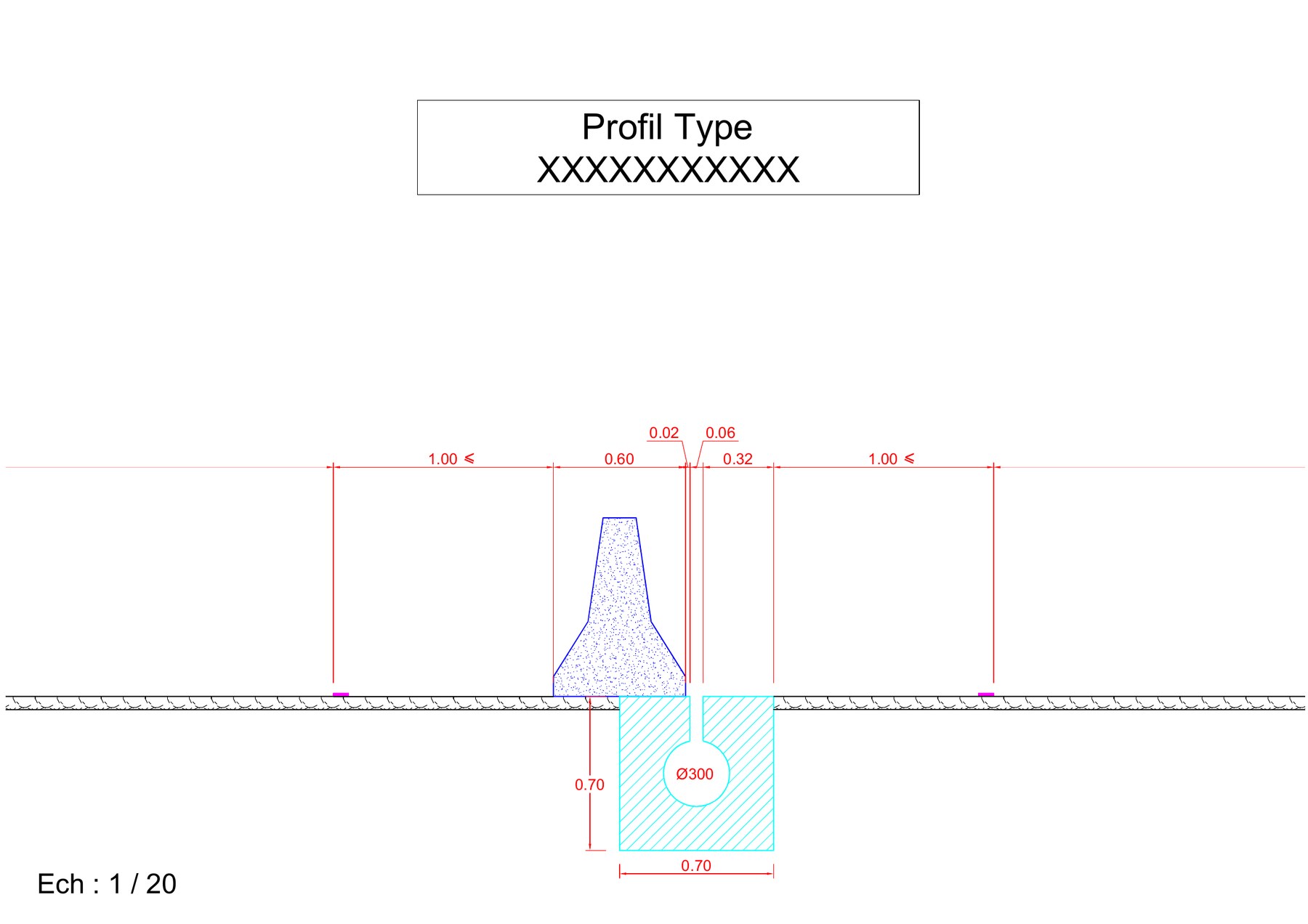
This example shows the production of technical plans that professionals can use directly: interior architects, fitters, craftspeople or engineering firms. The aim is to turn surveys or project intentions into precise, clear documents that are ready to use.
The process
Starting from the available information (surveys, measurements, references), the plans are drawn up and cleaned up in DWG, with additional work in QGIS when the project has a geographic or mapping dimension.
Documents produced
- Layout plans
- Sections and elevations
- Clean-up of existing surveys
- Usable documents, ready to be shared or printed